Wine Tour Tips: Top 5 Planning Suggestions for Your Dream Tour
Wednesday, Aug 6th 2025
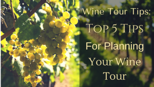
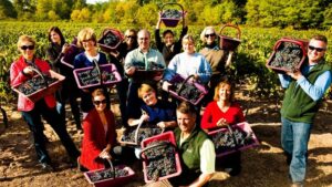
If you could plan the ultimate French wine tour—one filled with flawless logistics, exclusive tastings, and authentic experiences—what would it look like? Wine tour tips for planning your dream wine tour in France: Planning a wine tour in France can quickly feel overwhelming. Endless research, ...
Wine Pairing With Steak: Bordeaux Inspired Meal to Make at Home
Friday, Jun 20th 2025
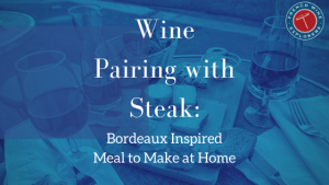
Picture this: you’re hosting a meal and the main guest loves Bordeaux wines and steak. What is the best wine pairing with steak? In this post, find great tips and tricks for meal planning for Bordeaux wine lovers. Here’s a preview for an easy, no-fail Bordeaux-themed meal that ...
What Is the Best Rosé Wine to Drink Now? We've Got Answers
Wednesday, May 21st 2025

Have you heard of a June event called “Rosé Wine Day”? Bodvár – House of Rosés is believed to have started Rosé Wine Day. The purpose of this was to raise awareness of this type of wine and to give those who enjoy it a day to celebrate together. Some of the best rosé wines […]
French Wine Pairing With Seafood
Monday, May 5th 2025
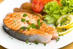
When pairing French wine with seafood, let’s look at the rules, and then let’s break them. Normally, you serve white wines with seafood or poultry, and red wines with beef and other red meats. But fish varies in flavor. Some are light and others are more substantial. How the fish ...
The Best Chablis Wines to Drink Now!
Thursday, May 1st 2025
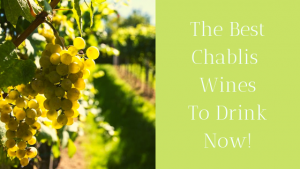
When I was in college, I was often responsible for refreshments when visiting dignitaries came to talk to our budding diplomats club. The talks were interesting, but the wine was pedestrian. The very worst of those was a sweet, unbalanced Chablis from California. I promised I would never touch ...
What are the Best Easter Wine Pairings?
Friday, Apr 11th 2025

There are a range of options for Easter wine pairings-so where do you start? You have enjoyed Easter dinners featuring the classic lamb and Bordeaux wine combination. This year, why not enjoy an Easter or late spring dinner featuring Burgundy wines? You will have an enjoyable treat, with fine ...
Gougères Recipe in 5 Easy Steps
Friday, Mar 28th 2025
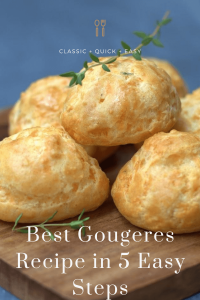
Do you know that feeling when you want to offer some appetizers but don’t know what to serve beyond chips and dip? Here is an easy gougères recipe (pronounced goo-jairs) that is a real crowd-pleaser. Plus you can make a larger batch to freeze for that last-minute get-together, or even to ...
French Wine for Weddings: How to Pair Wine for Your Wedding
Friday, Jan 3rd 2025
Have you ever wondered how to incorporate French wine into your wedding? Careful planning enhances this special event, and carefully selected French wines can help create a memorable occasion. Before you decide on anything, you’ll want to make appropriate choices based on your budget and ...
What Are The Best Thanksgiving Wines? We've Got Answers
Thursday, Nov 21st 2024
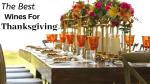
Struggling to find the perfect wines to pair with your Thanksgiving feast? Discover how to select bottles that complement every dish and please every palate around your holiday table. What Are The Best Thanksgiving Wines? The traditional Thanksgiving turkey is not an easy fit with wine. The ...
Easy Crème de Cassis Cocktails
Sunday, Jun 30th 2024
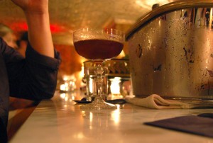
Here is an easy Crème de Cassis cocktail, inspired by Casablanca, plus a few more to add interest to the popular cocktail: Kir Kir Royale Kir Berrichon You’ve seen the movie often. It’s 1942, and “Casablanca” is playing. Humphrey Bogart is opening Ric’s Café for an evening’s entertainment. ...
Pascale Bernasse Celebrates 24 Years in the Travel Industry
Friday, Jun 21st 2024
Twenty-four years ago, Pascale Bernasse fulfilled a lifelong dream and began a career in the travel industry. Today, that dream remains a reality for her as the owner and President of French Wine Explorers. Bernasse started working in the travel industry in 2000 after leaving a corporate ...
Top 10 Experiences in Provence
Friday, Apr 26th 2024
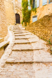
The Rhone Valley and Provence have some of the most beautiful vineyards in France. Vines cover the landscape as far as the eye can see in most places, punctuated by olive groves and lavender fields. You’ll find an incredibly rich variety of fascinating sites to discover while enjoying the ...
The Louvre Museum: Dining and Drinking Locally, Steering Clear of Tourist Traps
Thursday, Apr 4th 2024

Ask any local, and their best advice for eating near the most popular Parisian landmarks is not to! Restaurateurs know that tourists coming down from the Eiffel Tower or out of the Louvre Museum starving. They take advantage of tired legs and “underdeveloped” palates to pawn ...
What is a Full Bodied Wine From France?
Wednesday, Mar 20th 2024

When someone tells us they like full-bodied red wines, we first ask them what their idea of a full-bodied wine is. This allows us to understand better what resonates with their preferences. Then we can recommend areas in France to discover better what is a full-bodied wine! Winter wines, ...
Vouvray Wines: Sweet and Delightful Pairings
Saturday, Mar 2nd 2024
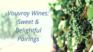
Vouvray Pairings for the Main Course: Baked Ham, Chinese or Indian food, Gingered Pork, Butternut squash soup, Peking duck Wine Pairings for Dessert: Goat Cheese, Lemon Meringue Pie, Mince Tarts, Pumpkin Pie It was some years ago–as a member of a group of teenagers bicycling through the ...
Wines of the Pomerol Plain
Wednesday, Jan 31st 2024
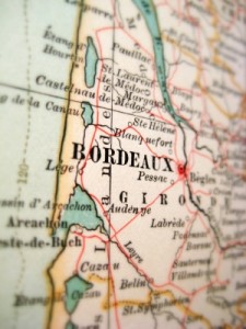
What makes the tiny Pomerol region stand out in a sea of world-famous Bordeaux wines? Uncover the unique secret behind Pomerol’s velvety reds that even seasoned wine lovers might be overlooking! Our last blog article featured the great wines of St. Emilion. We continue our journey in the ...
« Newer Entries